

Our History:
The Minnesota Democratic-Farmer-Labor (DFL) Party was created on April 15, 1944, after the Minnesota Democrats merged with the Farmer-Labor Party. Hubert H. Humphrey was instrumental in the merger and is considered by many to be the founder of the Minnesota DFL Party.

First District DFL Executive Committee
-
Chair: Lori Sellner (Brown County)
Vice Chair: John Swanson (SD 25)
Secretary: Lap Nguyen (SD25)
Deputy Secretary: Theresa Keaveny (Brown County)
Treasurer: Greg Graif (Martin County)
Outreach and Inclusion: Eugenio Lopez (Nobles County)
Communications: Julie Fryer (Fillmore County)
Data and Technology: Mindy Kimmel (Blue Earth County)
-
2024-2028: Leah Midgarden
-
Deb Hogenson (Waseca), Deb Meyer (Nobles), Brianna Fay (Dodge), Theresa Keaveny (Brown), Teresa Davison (Martin), Andrea Ramberg (Goodhue), Cheryl Saul (Steele), Roger Steinkamp (Rice/Scott 58), Mark Bell (Rock), Karl Knudsen (Steele), Thomas Byrne (Brown), Bruce Huber (Dodge), Rob Nelson (Olmsted 20/24), Keith Troke (Olmsted 20/24), Peter Haug (Goodhue)
-
Platform and Issues Committee: Valery Fernandez (Olmsted 20/24), Dana Melius (Nicollet)
Outreach and Inclusion Committee: Ne’Kaya Collins (Steele), Larry Herbison (Mower)
Constitution, Bylaws and Rules Committee: Aaron Roessler (Waseca), Tristan Bergmann (Rock)
Party Affairs Committee: Toni Popp (Blue Earth), Mark Liebow (Olmsted 20/24)
Budget Committee: Sue Rasmussen (Goodhue)
Code of Conduct Committee:
History Committee: Christine DeVries, Ceri Everett (Goodhue), Jacob Grippen (Winona)
Nominations and Search Committee: Lori Sellner (Brown), John Swanson (SD25), Will Harvey (Olmsted), Christine Devries (Fillmore)
-
Mindy Kimmel (Blue Earth)
Will Harvey (Olmsted 20/24) -
Bethany Greiner (Freeborn), Julie Fryer (Fillmore), Sue Rasmussen, Eugenio Lopez (Nobles), Les Tlougan (Goodhue), David Mesta (Blue Earth), Mark Bell (Houston)
The Minnesota DFL has a rich history of electing strong, Democratic leaders to public office. We work every day to build a better Minnesota for all Minnesotans.


2022 Population Density by CD1 County
Population by County (2022)
Blue Earth: 71,053
Brown: 25,756
Dodge: 21,342
Faribault: 13,681
Fillmore: 21,605
Freeborn: 30,904
Goodhue: 48,910
Houston: 19,253
Jackson: 10,067
Martin: 20,153
Mower: 40,605
Nicollet: 35,826
Nobles: 22.473
Olmsted: 168,055
Rice: 68,525
Rock: 9,853
Steele: 38,775
Wabasha: 21,895
Waseca: 19,236
Watonwan: 11,253
Winona: 49,764
*Note: County population includes population of the entire county. Counties split between congressional districts are not reduced by the remaining population outside CD1.*

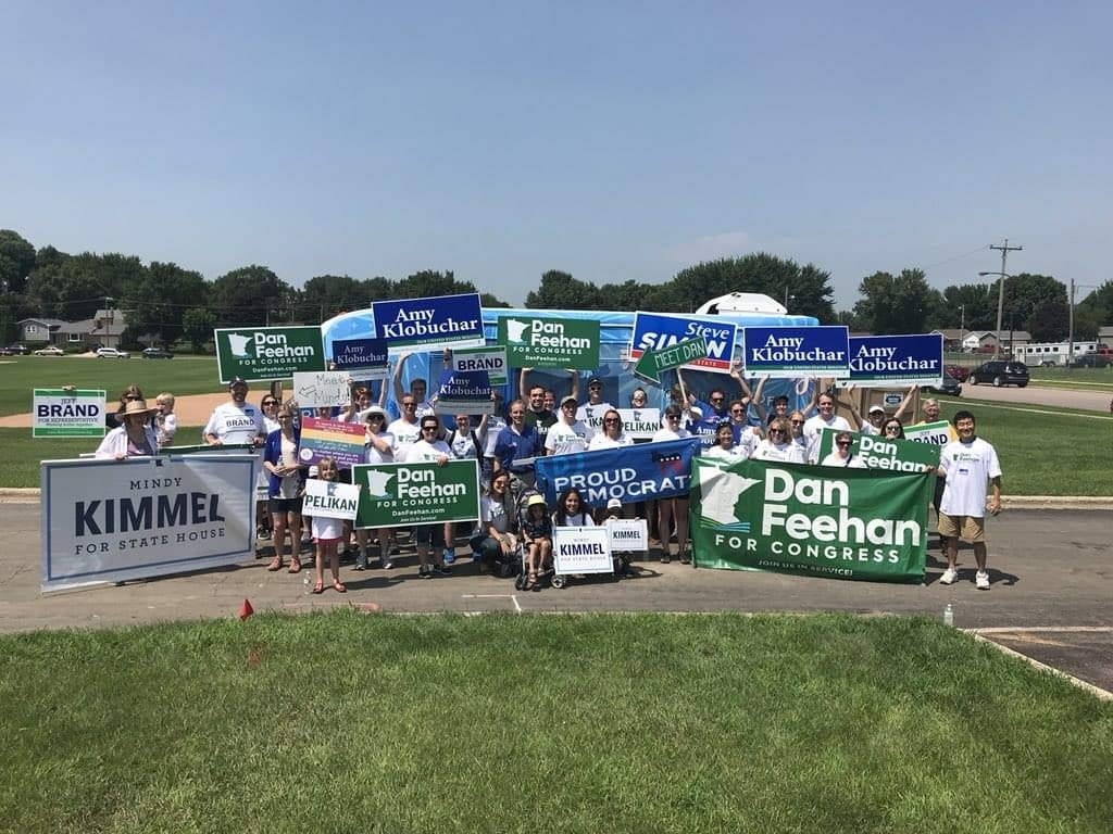
Blue Earth County
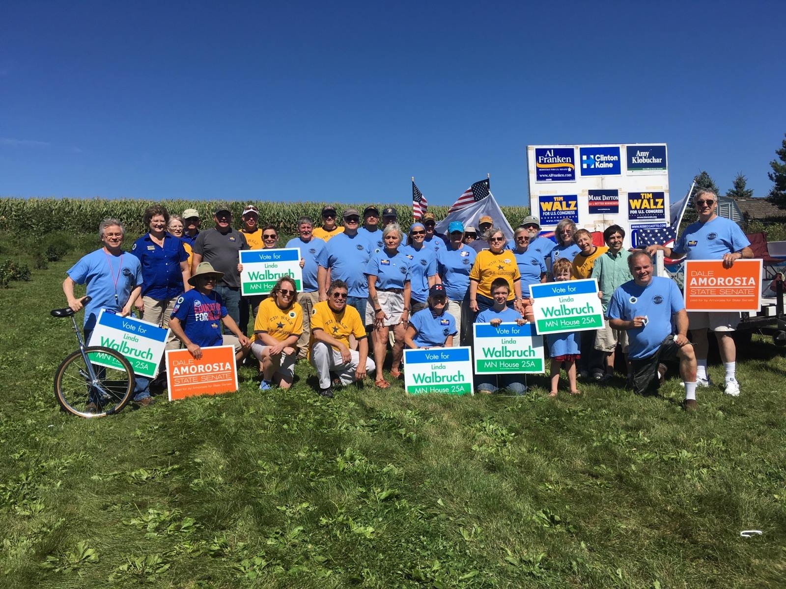
Brown County
Dodge County
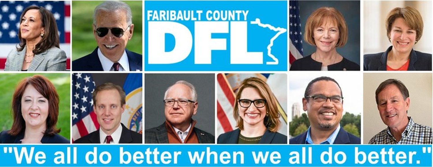
Fairbault County

Fillmore County
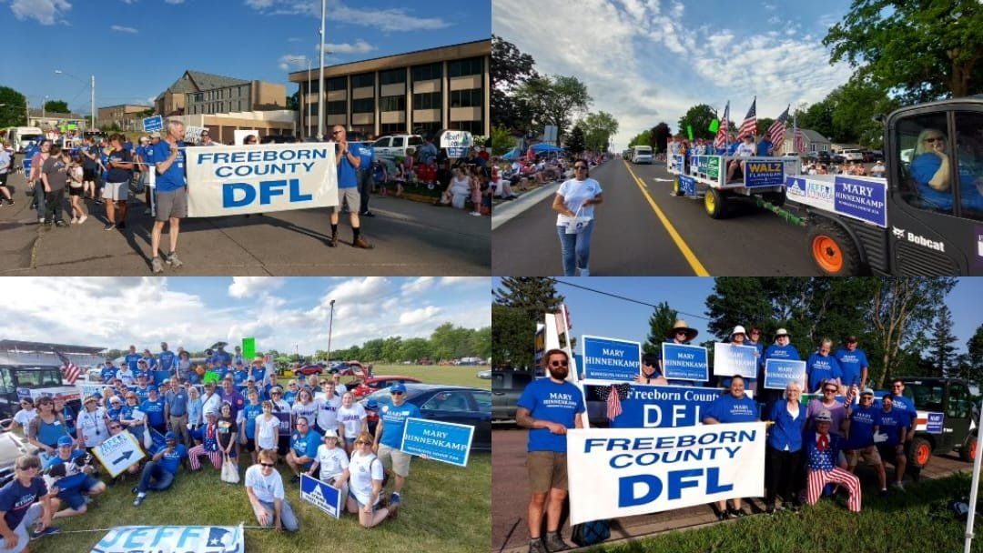
Freeborn County
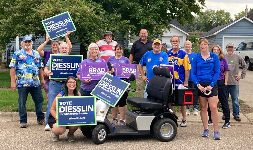
Goodhue County

Houston County

Jackson County
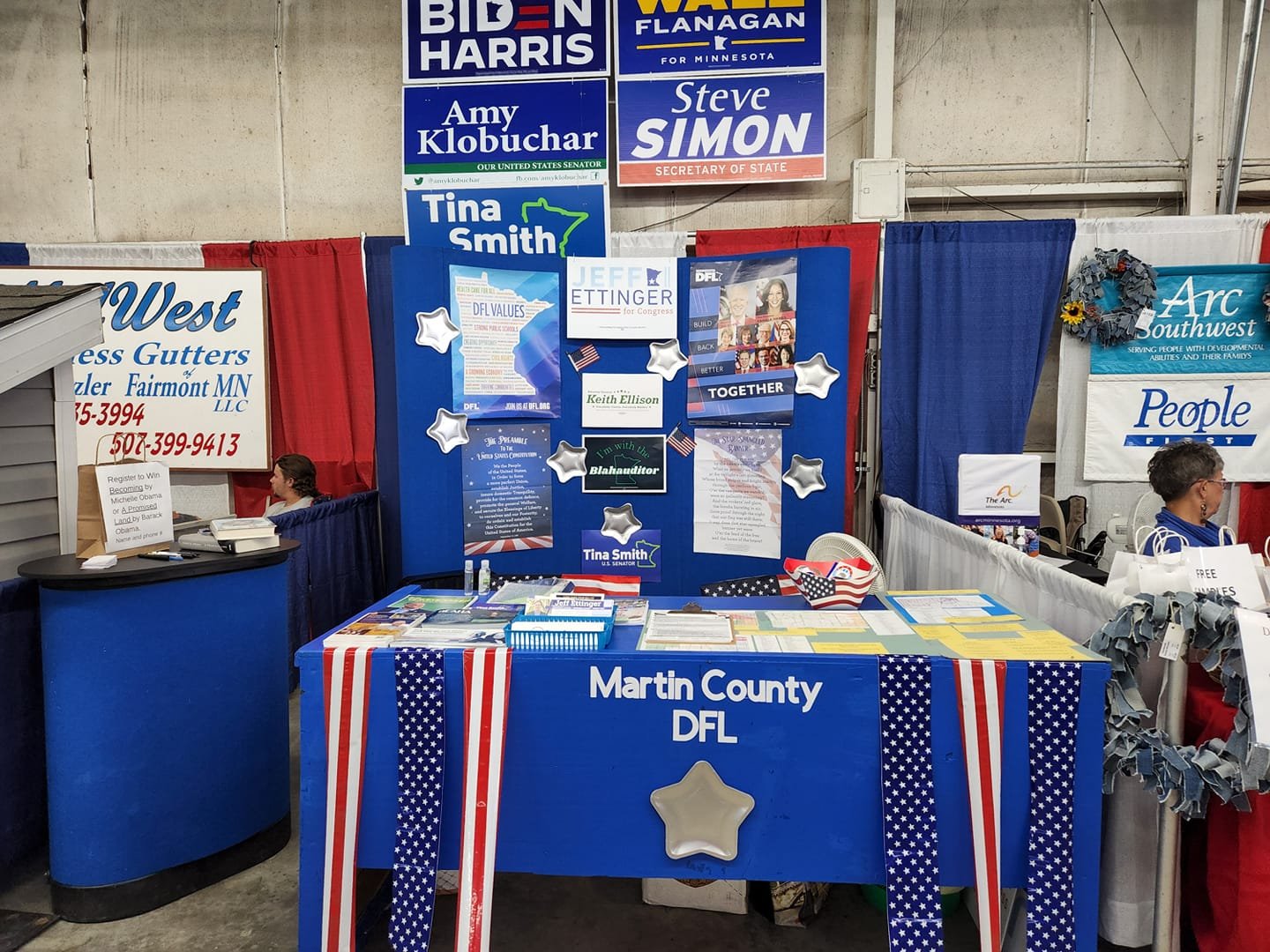
Martin County
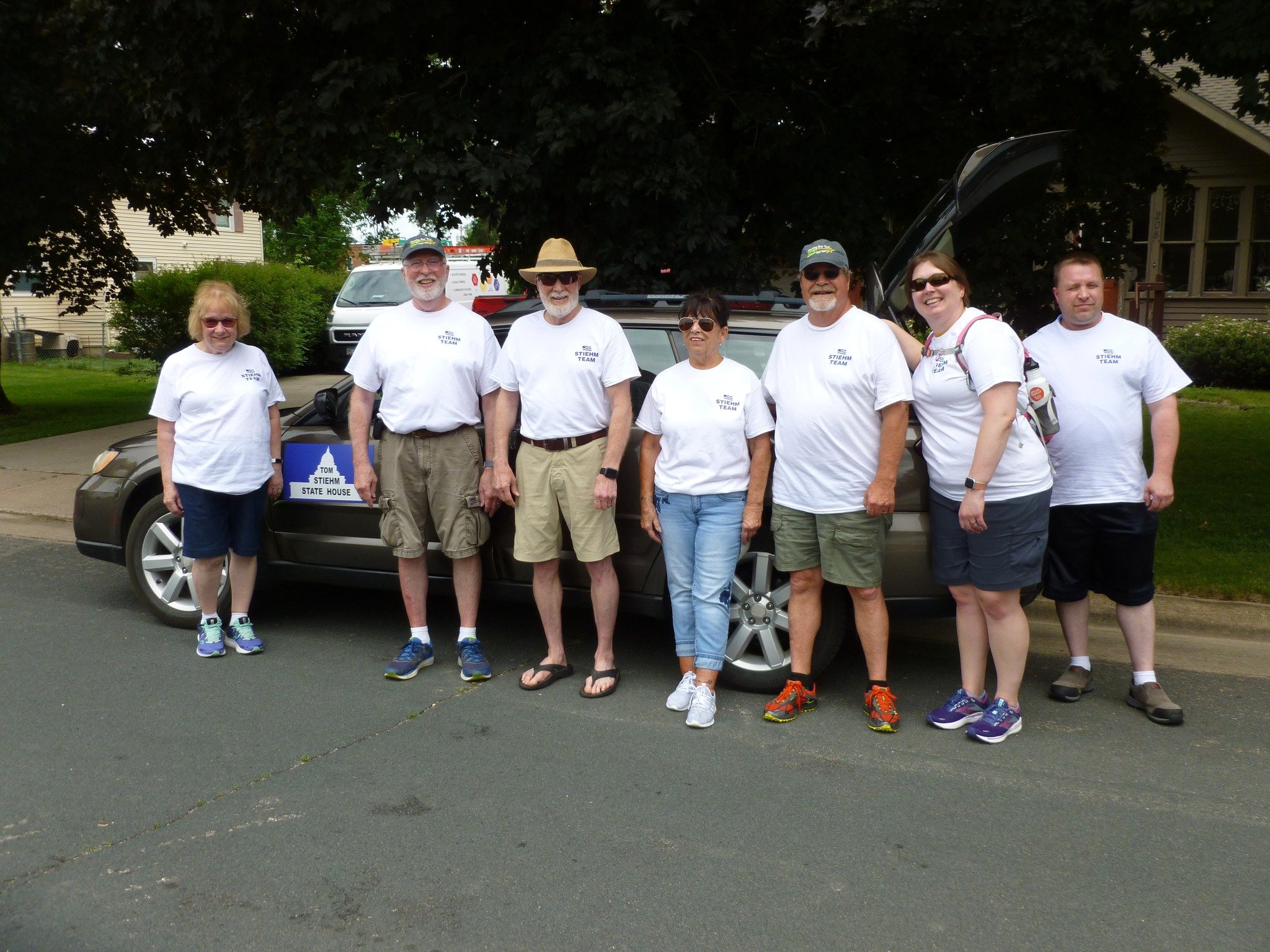
Mower County

Nicollet County
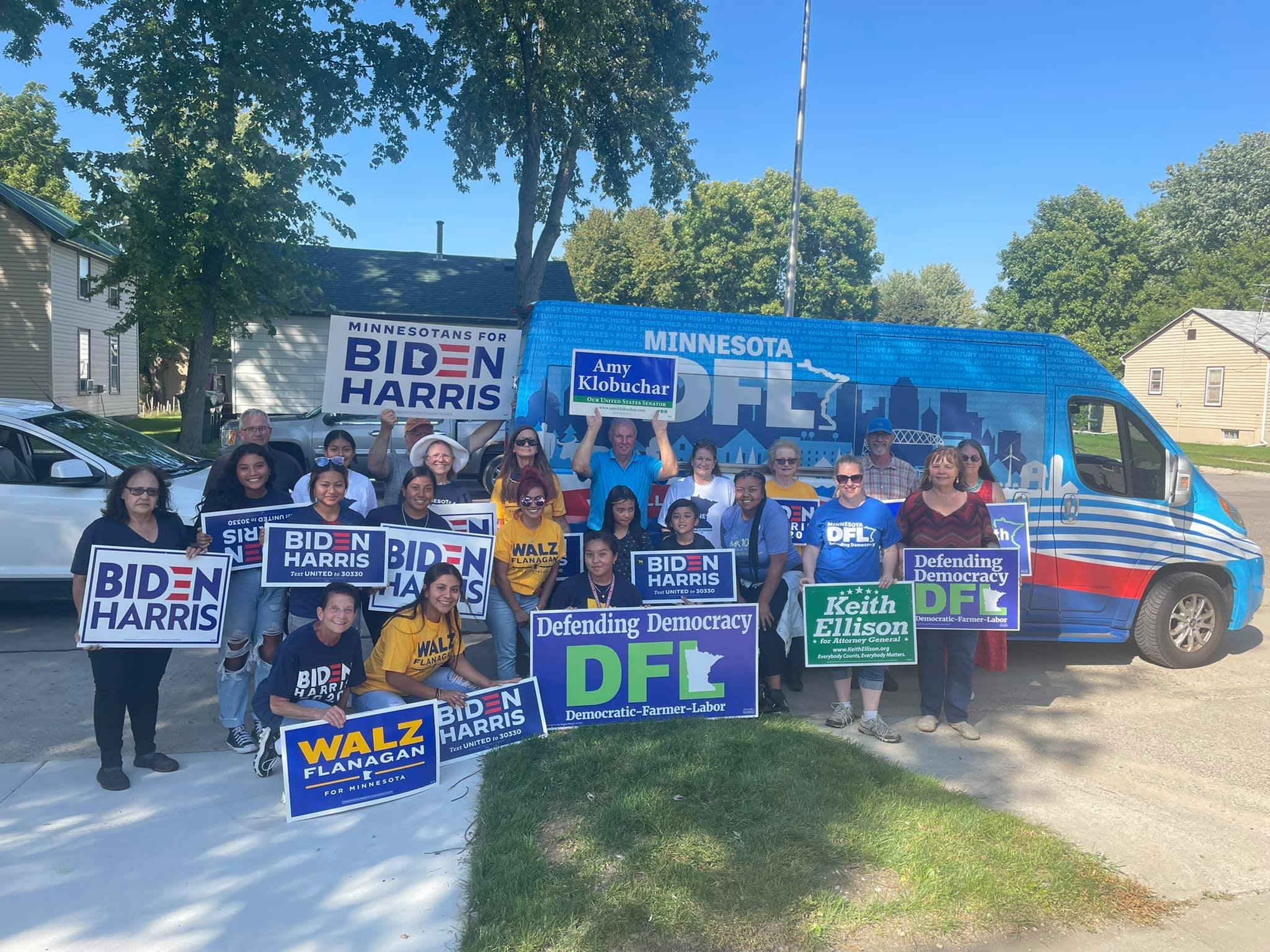
Nobles County
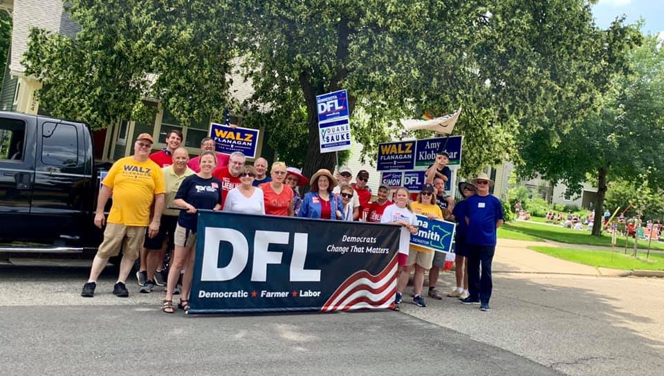
Olmsted County
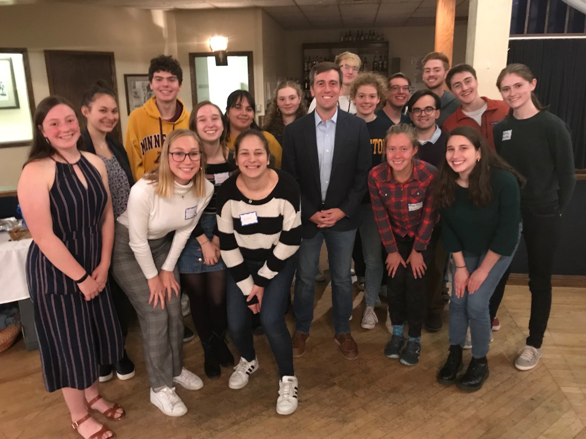
Rice County

Rock County
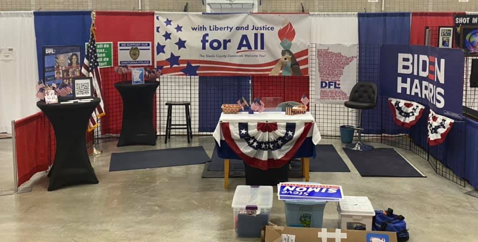
Steele County

Wabasha County

Waseca County

Watonwan County

Winona County

Elected Officials